National Hydrographic Office (NHC) has been a customer since 2017. In 2020, they extended this relationship for a further 1 year.
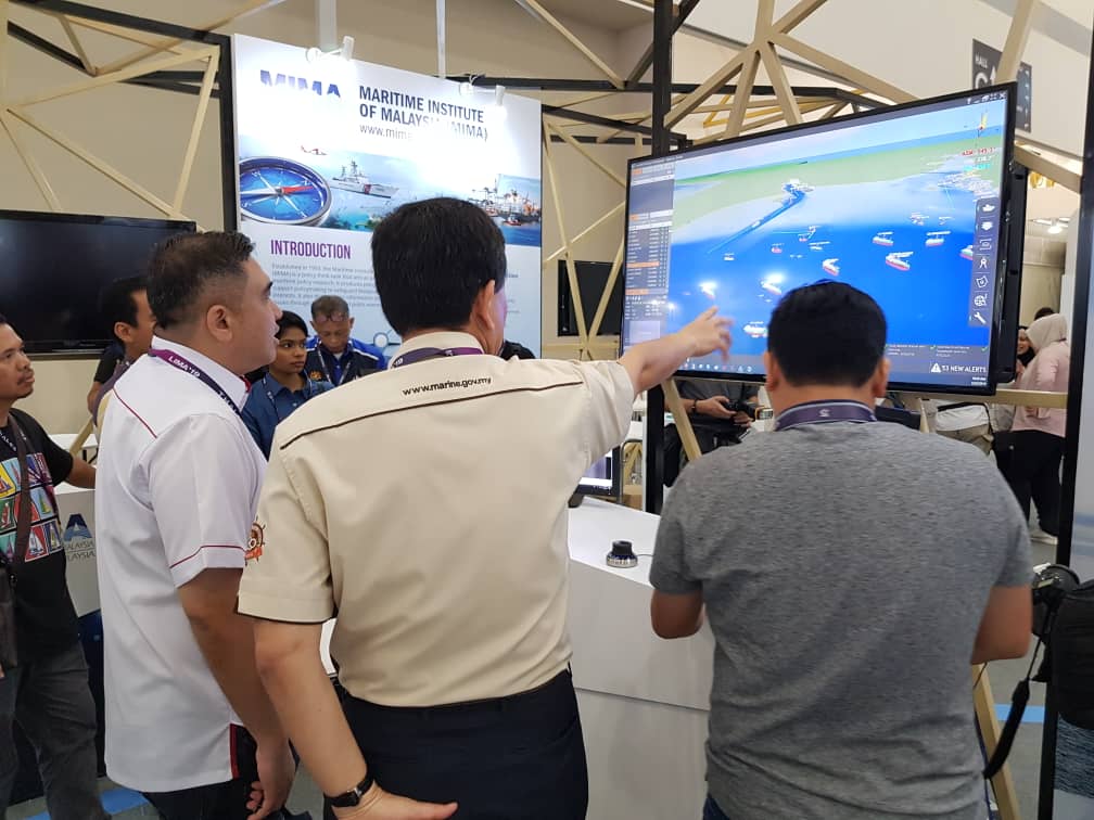
GreenFinder provides a 24 hour, web-based service, a fully integrated national scale maritime border and EEZ surveillance, command and control system. Combining the very best terrestrial and satellite AIS, radar and CCTV sensor technologies with sophisticated command and control and data analytics functionality
The history of the National Hydrographic Center begins with the collection of modern battery or meteorological data in Malaysia beginning in 1868 by the British Naval Hydrographic Service (PHTLDB) to publish British Admiralty nautical charts. In 1964, the British government decided to remove all its hydrographic assets and platforms and entrust the country's hydrographic measurement responsibilities to the Malaysian government after being convinced of the Malaysian government's ability to perform hydrographic activities without their intervention.


")
")

